San Bernardino County USDA Aerial Photo Collection
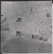
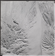
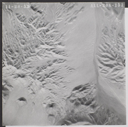
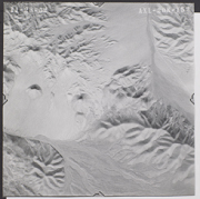
San Bernardino County covers a large area of Southern California, over 20,000 sq. miles. It borders Nevada and the Colorado River to the East and the San Bernardino Mountains West. Some areas are very populated while other areas-most notably the desert areas-are very sparsely populated. These images cover the northwest desert areas, SB Mountain areas, SB Valley area, and southwest desert locations. San Bernardino County is part of the Santa Ana Watershed and the Mojave River Watershed. Most of the pictures contain metadata further describing the images.
The United States Department of Agriculture regularly takes aerial photographs of rural areas of the United States. Most of these photographs were taken in the early 1950's. The pictures contain metadata further describing the images. Detailed analysis of the pictures or reproductions can be arranged through the CSUSB WRI at (909) 537-7683. If you are in need of accommodation for a disability in order to view or understand the following images, please contact the CSUSB WRI for assistance.
The WRI is an outreach partnership between CSUSB and the Southern California communities we serve, driven by the vision that sustaining water resources rests on sound research, analysis and public policy collaboration. The Historical Aerial Photo Collection is comprised of images of Southern California beginning in the 1920's. The geographic areas include much of Southern California from deserts to the Pacific Ocean. The images in these flights are from the Joseph Andrew Rowe Water Resources Archives and represent various collections that are held by the Archives.