


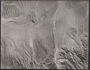
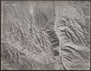
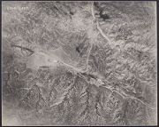
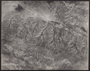
San Diego Area Aerial Photo Collection
The WRI is an outreach partnership between CSUSB and the Southern California communities we serve, driven by the vision that sustaining water resources rests on sound research, analysis and public policy collaboration. The Historical Aerial Photo Collection is comprised of images of Southern California beginning in the 1920's. The geographic areas include much of Southern California from deserts to the Pacific Ocean. The images in these flights are from the Joseph Andrew Rowe Water Resources Archives and represent various collections that are held by the Archives.
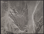
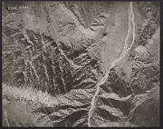
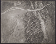
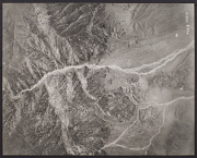
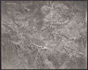
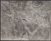
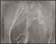
These aerial photos are from the San Diego area. These flights cover diverse areas of San Diego County and are not located in a single watershed. Further information about these images is available and can be provided by contacting the WRI at (909) 537-7683. All images are copyrighted by the Water Resource Institute at CSU San Bernardino. If you are in need of accommodation for a disability in order to view or understand the following images, please contact the WRI at (909) 537-7683 for assistance.
 C-300_G286 13 |
 C-300_G287 14 |
 C-300_G289 15 |
 C-300_G290 16 |
 C-300_G342 17 |
 C-300_G343 18 |
 C-300_G344 19 |
 C-300_G345 20 |
 C-300_G346 21 |
 C-300_G347 22 |
 C-300_G348 23 |
 C-300_G376 24 |