


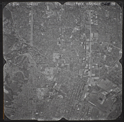
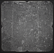
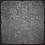
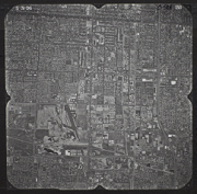
San Bernardino West Aerial Photo Collection
The San Bernardino West area lies in the San Bernardino foothills and the eastern portion of the San Bernardino Valley, roughly 65 miles inland of the Pacific Ocean in San Bernardino County, California, United States. San Bernardino West is part of an area known as the Inland Empire.
The San Bernardino West area is part of the Santa Ana Watershed. Most of the pictures contain metadata further describing the images. Detailed analysis of the pictures or reproductions can be arranged through the CSUSB WRI at (909) 537-7683. If you are in need of accommodation for a disability in order to view or understand the following images, please contact the CSUSB WRI for assistance.
The WRI is an outreach partnership between CSUSB and the Southern California communities we serve, driven by the vision that sustaining water resources rests on sound research, analysis and public policy collaboration. The Historical Aerial Photo Collection is comprised of images of Southern California beginning in the 1920's. The geographic areas include much of Southern California from deserts to the Pacific Ocean. The images in these flights are from the Joseph Andrew Rowe Water Resources Archives and represent various collections that are held by the Archives.
 C-528_133 133 |
 C-528_134A 134 |
 C-528_134B 135 |
 C-528_134C 136 |
 C-528_135 137 |
 C-528_136 138 |
 C-528_137 139 |
 C-528_138 140 |
 C-528_139 141 |
 C-528_140 142 |
 C-528_141 143 |
 C-528_142 144 |