


San Bernardino-West Aerial Photo Collection
If you would like a large print of the image, please contact the WRI at (909) 537-7683
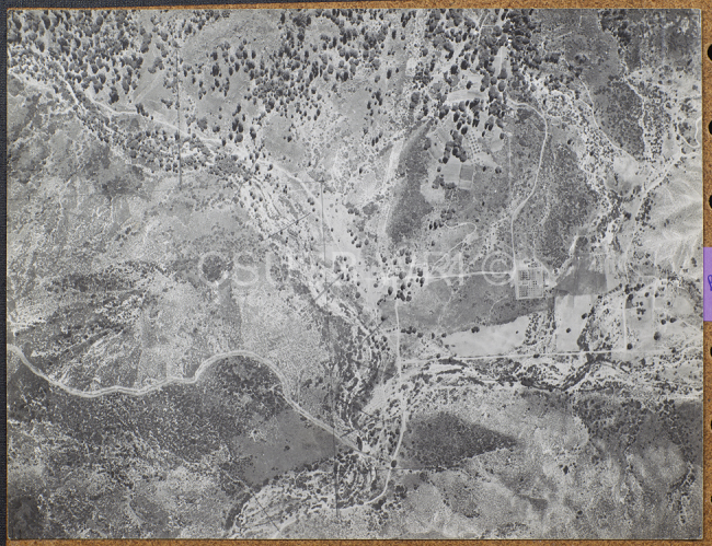
The WRI is an outreach partnership between CSUSB and the Southern California communities we serve, driven by the vision that sustaining water resources rests on sound research, analysis and public policy collaboration. The Historical Aerial Photo Collection is comprised of images of Southern California dating from the 1920s through the 1960s. The geographic areas include much of Southern California from deserts to the Pacific Ocean. The images in this flight are from the Joseph Andrew Rowe Collection.
This group of aerial photos is from west San Bernardino County areas. This area includes sections of Rancho Cucamonga, Etiwanda, Ontario, and San Antonio Heights. This area includes the San Gabriel mountain foothill areas and Cucamonga Creek. This area is part of the Santa Ana Watershed. There are four flights all dated from the 1930's. No further information is available on these images, however, a detailed visual description can be provided by contacting the WRI at (909) 537-7683. All images are copyrighted by the Water Resource Institute at CSU San Bernardino. If you are in need of accommodation for a disability in order to view or understand the following images, please contact the WRI at (909) 537-7683 for assistance.