

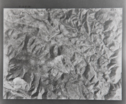
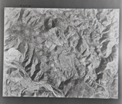
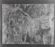
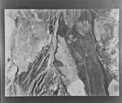
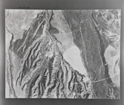
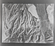
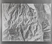
Cities near Corona Photo Collection
The area of Corona, Jurupa Valley, and Norco is in the western end of the County of
Riverside. The cities of Chino Hills and Yorba Linda are also in
this area. To the northwest is the Cleveland National Forest and
to the Southwest are the Santa Ana Mountains. This area is in the
Santa Ana Watershed.
Most of the pictures contain metadata further describing the images.
Detailed analysis of the pictures or reproductions can be arranged
through the CSUSB WRI at (909) 537-7683. If you are in need of accommodation
for a disability in order to view or understand the following images,
please contact the CSUSB WRI for assistance.
The WRI is an outreach partnership between CSUSB and the Southern
California communities we serve, driven by the vision that sustaining
water resources rests on sound research, analysis and public policy
collaboration. The Historical Aerial Photo Collection is comprised
of images of Southern California beginning in the 1920's. The geographic
areas include much of Southern California from deserts to the Pacific
Ocean. The images in these flights are from the Joseph Andrew Rowe
Water Resources Archives and represent various collections that
are held by the Archives. Most of the images for this location were
made available by the Riverside County Board of Supervisors and
the Riverside County Flood Control and Water Conservation.
 RC 1-373_1931-337 181 |
 RC 1-373_1931-338 182 |
 RC 1-373_1931-339 183 |
 RC 1-373_1931-340 184 |
 RC 1-373_1931-341 185 |
 RC 1-373_1931-342 186 |
 RC 1-373_1931-343 187 |
 RC 1-373_1931-344 188 |
 RC 1-373_1931-345 189 |