


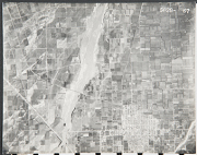
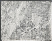
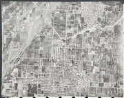
The Orange County Aerial Photo Collection
Orange County is the third most populous county in California, although it is the smallest county in Southern California. Orange County is bordered on the southwest by the Pacific Ocean, on the north by Los Angeles County, on the northeast by San Bernardino County and Riverside County, and on the southeast by San Diego County. The Santa Ana River is the county's principal watercourse, flowing through the middle of the county from northeast to southwest.
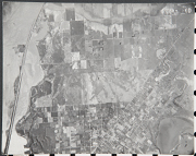
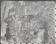
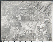
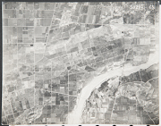
Orange County area is part of the Santa Ana Watershed. Most of the pictures contain metadata further describing the images. Detailed analysis of the pictures or reproductions can be arranged through the CSUSB WRI at (909) 537-7683. If you are in need of accommodation for a disability in order to view or understand the following images, please contact the CSUSB WRI for assistance.
The WRI is an outreach partnership between CSUSB and the Southern California communities we serve, driven by the vision that sustaining water resources rests on sound research, analysis and public policy collaboration. The Historical Aerial Photo Collection is comprised of images of Southern California beginning in the 1920's. The geographic areas include much of Southern California from deserts to the Pacific Ocean. The images in these flights are from the Joseph Andrew Rowe Water Resources Archives and represent various collections that are held by the Archives.
 5029_54 37 |
 5029_57 38 |
 5029_58 39 |
 5029_59 40 |
 5029_60 41 |
 5029_61 42 |
 5029_62 43 |
 5029_63 44 |
 5029_65 45 |
 5029_67 46 |
 5029_68 47 |
 5029_69 48 |