


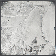
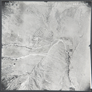
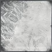
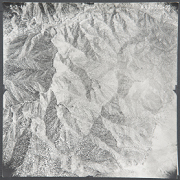
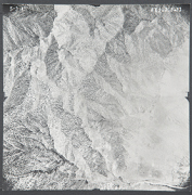
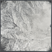
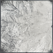
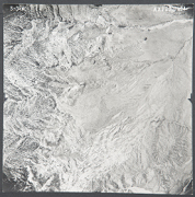
The Los Angeles County Aerial Photo Collection
The WRI is an outreach partnership between CSUSB and the Southern California communities we serve, driven by the vision that sustaining water resources rests on sound research, analysis and public policy collaboration. The Historical Aerial Photo Collection is comprised of images of Southern California beginning in the 1920's. The geographic areas include much of Southern California from deserts to the Pacific Ocean. The images in these flights are from the Joseph Andrew Rowe Water Resources Archives and represent various collections that are held by the Archives.
This group of Aerial Photos covers areas of Los Angeles County, including the City of Bel Air, the Los Angeles River and the Santa Gabriel watershed are shown in these flights. Further information about these images is available and can be provided by contacting the WRI at (909) 537-7683. All images are copyrighted by the Water Resource Institute at CSU San Bernardino. If you are in need of accommodation for a disability in order to view or understand the following images, please contact the WRI at (909) 537-7683 for assistance.
 AXJ-308_37 13 |
 AXJ-308_38 14 |
 AXJ-308_39 15 |
 AXJ-308_40 16 |
 AXJ-308_90 17 |
 AXJ-308_91 18 |
 AXJ-308_92 19 |
 AXJ-308_93 20 |
 AXJ-308_94 21 |
 AXJ-308_95 22 |
 AXJ-308_96 23 |
 AXJ-308_97 24 |