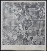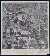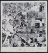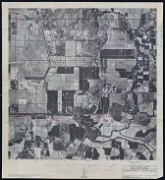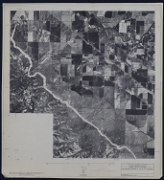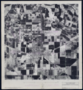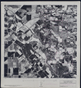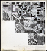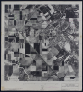
The Sacramento Delta Aerial Photo Collection
The WRI is an outreach partnership between CSUSB and the Southern California communities we serve, driven by the vision that sustaining water resources rests on sound research, analysis and public policy collaboration. The Historical Aerial Photo Collection is comprised of images of Southern California beginning in the 1920's. The geographic areas include much of Southern California from deserts to the Pacific Ocean. The images in these flights are from the Joseph Andrew Rowe Water Resources Archives and represent various collections that are held by the Archives.
These aerial photos show sections of the Sacramento Delta, with some images showing areas before the State Water Project was in place. The Sacramento Delta is one of the most important geographic areas of California. Further information about these images is available and can be provided by contacting the WRI at (909) 537-7683. All images are copyrighted by the Water Resource Institute at CSU San Bernardino. If you are in need of accommodation for a disability in order to view or understand the following images, please contact the WRI at (909) 537-7683 for assistance.