


The Chino Aerial Photo Collection
The Chino area is located in the western end of the Riverside-San Bernardino area of San Bernardino County, California, United States. Chino is bounded by Chino Hills to the west, unincorporated San Bernardino County (near Montclair) to the north, Ontario to the northeast, unincorporated San Bernardino County to the southeast, and unincorporated Riverside County to the south.
The Chino area is part of the Santa Ana Watershed. Most of the pictures contain metadata further describing the images. Detailed analysis of the pictures or reproductions can be arranged through the CSUSB WRI at (909) 537-7683. If you are in need of accommodation for a disability in order to view or understand the following images, please contact the CSUSB WRI for assistance.
The WRI is an outreach partnership between CSUSB and the Southern California communities we serve, driven by the vision that sustaining water resources rests on sound research, analysis and public policy collaboration. The Historical Aerial Photo Collection is comprised of images of Southern California beginning in the 1920's. The geographic areas include much of Southern California from deserts to the Pacific Ocean. The images in these flights are from the Joseph Andrew Rowe Water Resources Archives and represent various collections that are held by the Archives.
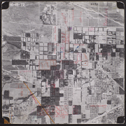 C-193_17 13 |
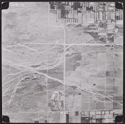 C-193_18 14 |
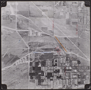 C-193_19 15 |
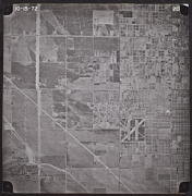 C-193_20 16 |
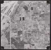 C-193_21 17 |
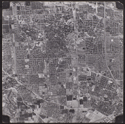 C-193_28 18 |
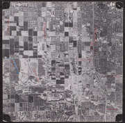 C-193_29 19 |
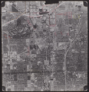 C-193_30 20 |
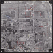 C-193_31 21 |
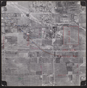 C-193_32 22 |
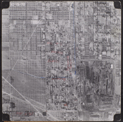 C-193_33 23 |
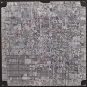 C-193_34 24 |
