

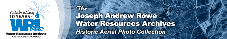
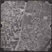
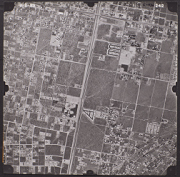
Apple Valley Aerial Photo Collection
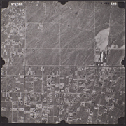
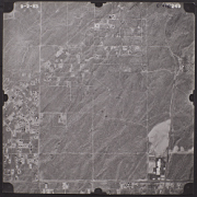
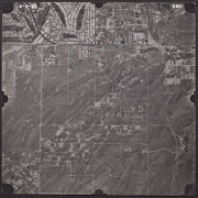
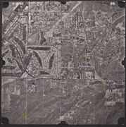
The Apple Valley area is located at the southern edge of the Mojave Desert in the Victor Valley of San Bernardino County, California, United States. The Mojave River that boarders the west side of the Apple Valley area is one of the only two rivers in the world to flow magnetic north. The Apple Valley area is north of San Bernardino Valley and is often referred to as the High Desert.
The Apple Valley area is part of the Mojave River Watershed. Most of the pictures contain metadata further describing the images. Detailed analysis of the pictures or reproductions can be arranged through the CSUSB WRI at (909) 537-7683. If you are in need of accommodation for a disability in order to view or understand the following images, please contact the CSUSB WRI for assistance.
The WRI is an outreach partnership between CSUSB and the Southern California communities we serve, driven by the vision that sustaining water resources rests on sound research, analysis and public policy collaboration. The Historical Aerial Photo Collection is comprised of images of Southern California beginning in the 1920's. The geographic areas include much of Southern California from deserts to the Pacific Ocean. The images in these flights are from the Joseph Andrew Rowe Water Resources Archives and represent various collections that are held by the Archives.
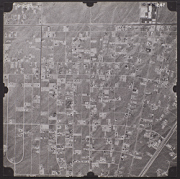
 C-436_241 241 |
 C-436_242 242 |
 C-436_243 243 |
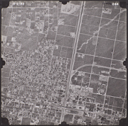 C-436_244 244 |
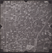
 C-436_245 245 |
 C-436_246 246 |
 C-436_247 247 |
 C-436_248 248 |
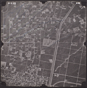
 C-436_249 249 |
 C-436_250 250 |
 C-436_251 251 |
 C-436_252 252 |